
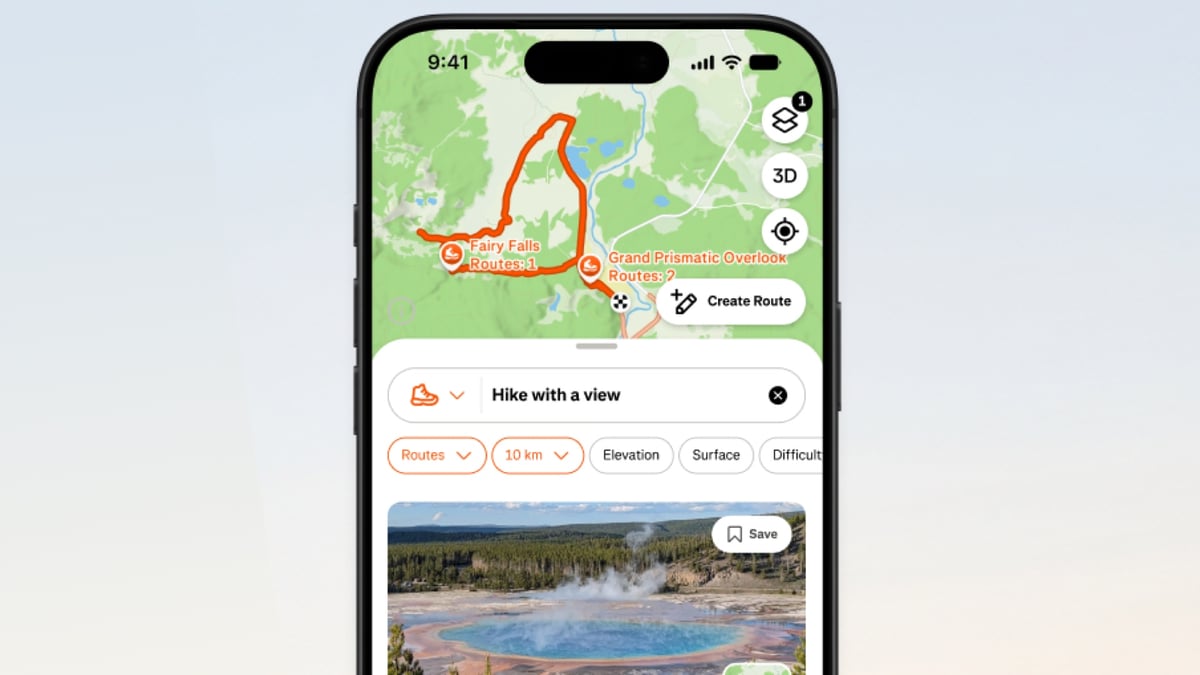
The update boosts offline routing, improves search, and redesigns route cards
Strava is continuing its packed year of feature rollouts with a major update to its map and route discovery experience, aimed at making it simpler for outdoor enthusiasts to plan, find, and follow outdoor adventures.
The latest release follows Strava’s recent strength-training update, which introduced native coach-led workouts, live set-and-rep tracking, and interactive muscle maps.
While that update pushed deeper into indoor resistance training, the new mapping improvements pivot back to outdoor exploration, addressing core user requests for better search functionality and reliability when mobile signal drops.
At the center of the update is a more intuitive search engine located within the Maps tab.
Users can now search for specific route names or points of interest using natural language, with search results matched directly to user intent rather than rigid keyword parameters. Strava says this pairs with an expanded, better-curated route inventory, giving users more pre-planned options before they start a workout.
To better evaluate potential routes, Strava has also redesigned its route cards. This means users can now review routes using real photos and activity data contributed by other Strava community members, offering a clearer picture of trail conditions and terrain ahead of time.
Offline mapping gets a boost
Perhaps the most practical addition for backcountry explorers, though, is the offline maps capability going live after first being teased by Strava back in June.
As is generally the case on the platform, access here is split between free and paid accounts. Recording an activity without cellular signal or Wi-Fi is free for all users, letting them track workouts locally on their phones and automatically upload them once connectivity is restored.
However, downloading and following pre-planned routes offline requires an active Strava subscription. Subscribers can save about 10 megabytes of map data per route locally, enabling off-grid navigation only in the iOS and Android mobile apps.
The fun doesn't stop there, either, as Strava has also confirmed several more additions slated for rollout in the coming weeks.
These include hands-free turn-by-turn audio directions for walks, hikes, and runs; expanded route details with community-validated tags highlighting local wildlife and landscape features; and a web-based route discovery tool that lets users browse and plan directly in a desktop browser.
Stay tuned for more on those.