Strava Routes could help you find isolated places to run and cycle
New Summit feature creates your next workout for you
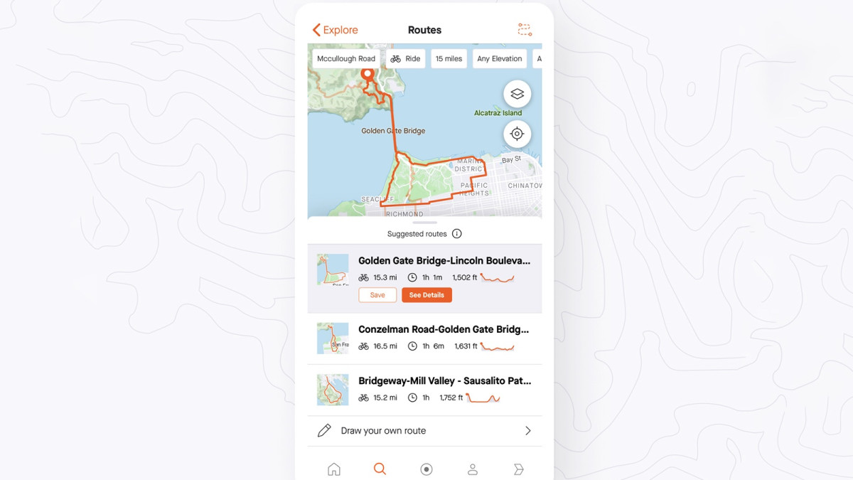
Strava has released a new feature that will help users find new places to run and cycle.
The feature called Strava Routes, will be available for Summit subscribers – the company’s premium service.
It works using a few of the features we’ve seen from Strava before – including heat maps (remember the stuff that showed the location of secret military bases), elevation data from OpenStreetMap, which is the biggest open source repository of terrain data. It can then be used with select GPS running watches, including the Garmin Fenix 6.
From your selected preferences on the type of terrain you want to run or cycle on, and whether you want to avoid hills (or embrace them), Strava Routes will use the activity of its 3 billion workouts to suggest a route you could take.
It will also crunch the numbers and tell you how long the route will take given your pace and terrain you’ll encounter, and show a topographical view of the elevation.
You can also overlay the heat map to see how busy the route could be – a neat feature for these social distancing times.
Learn more: Strava tips and tricks for wearable users
Some of these features will be familiar using the Route Builder web tool in Strava – although that will only show popular segments and won’t build a route for you.
“Routes uses Strava’s pool of recorded activities to provide high quality route recommendations personalised to athletes’ preferences for location, distance, surface type (pavement or dirt) and hilly or flat terrain. This data comes from the 3bn activities uploads to the platform,” said Simon Klima, Head of UK Strava.
Of course, the natural question is how to use the route once it’s created - and whether it works with GPS running watches.
It seems that Wahoo users will have the pick of the functionality to begin with – with auto-syncing to the company’s cycle computers.
If you’re a runner with a Garmin then use the feature on mobile, save the route, and head to your desktop. You can then sync the GPX route to your Garmin as usual – check out our guide for exactly how to do that.